

Geographic Information System
TrendGIS
Turn location data into informed decisions.
Manage, analyze and share location data on web-based maps.
About the product
Turn location data into informed decisions.
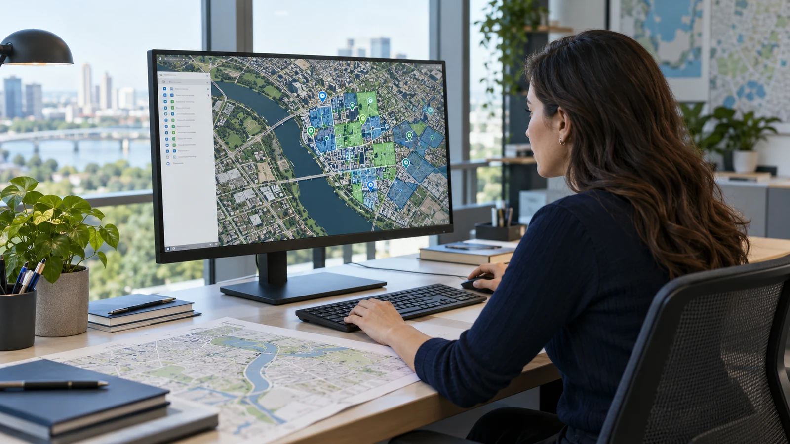
TrendGIS provides a web-based workspace for teams working with geographic data. It brings spatial information together on maps to support inspection, analysis and sharing.
Who is it for?
- Geographic data teams
- Planning departments
- Field operations
Key capabilities
- Web-based maps
- Spatial data management
- Geographic analysis
- Map-based data sharing
Demo request
Let's plan your TrendGIS demo
Answer a few short questions so we can tailor the demo to your business.
Prefer to talk?
+90 352 606 03 13info@trendbt.com
Thank you!
We have received your request and will get in touch with you shortly.